Home

 DFZ Laws

 Testimony

 Maps

 Articles

 Links

 Acknowledgements


Maps: Impact on Selected Neighborhoods

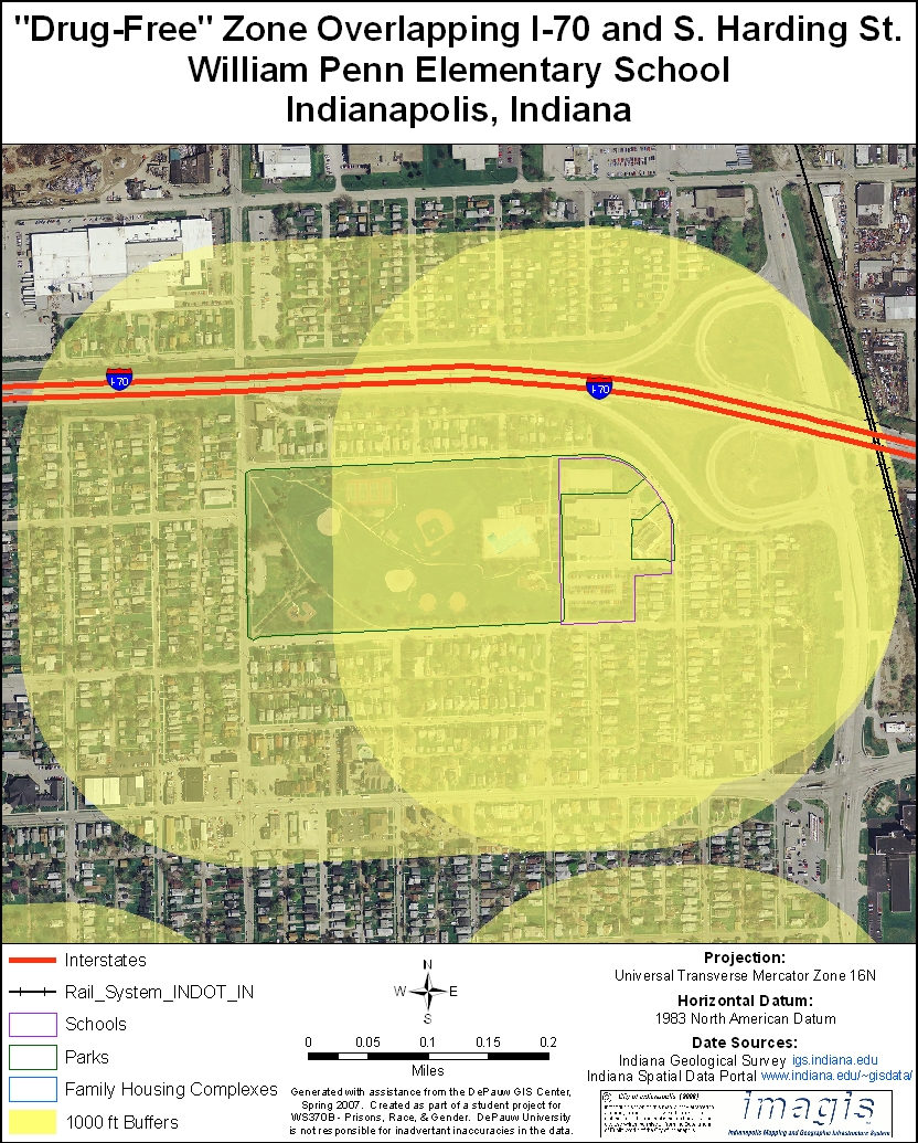
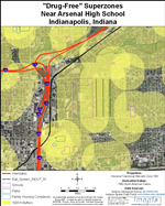
Legislators establish drug free zones primarily to discourage drug dealing near areas frequented by children and familes. Establishing zones with fixed size, however, often has the the unintended consequence of including areas that are not of special concern.

The overextension of zones is especially obvious when large barriers such as interstates, rivers and railroad tracks bisect zones. Each of the maps below provides an example of this problem around a public school in Indianapolis.


Click on the map at left to view the area around Arsenal Technical High School to see examples of overlapping zones that almost completely cover a neighborhood and of highways and railroads that bisect zones.
Click on the map to the left to view the area around Thomas Edison Middle School. It is bordered on the east by the White River and on the south by I-70.
Click on the map to the left to view the area around William Penn Elementary School and Rhodius Park which are located at the Harding St. exit of I-70.